#Product Trends
MONT BLANC ICE CAP SCANNED FOR THE FIRST TIME
Leica Nova MS50 Takes First Ever 3D Scan of Mont Blanc Ice Cap
The first ever 3D laser scan of Mont Blanc’s ice cap was recently taken using a Leica Nova MS50. The high precision scanner was used to measure the shape and volume of the ice cap. The surveying team was made up of participants from Leica Geosystems France and land surveyors from the upper Savoy region of France as well as technical partners from Géomédia.
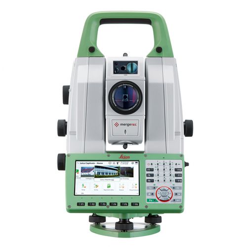
The Leica Nova MS50 merges highly accurate and wide ranging total station capabilities, precision 3D scanning and digital imagery in one single device. Its superior station functionality and sensor integration ensure maximum measurement precision, even in adverse conditions.