#Industry News
Drones Obstacle Avoidance and Altitude Hold Mode
Drones Obstacle Avoidance and Altitude Hold Mode
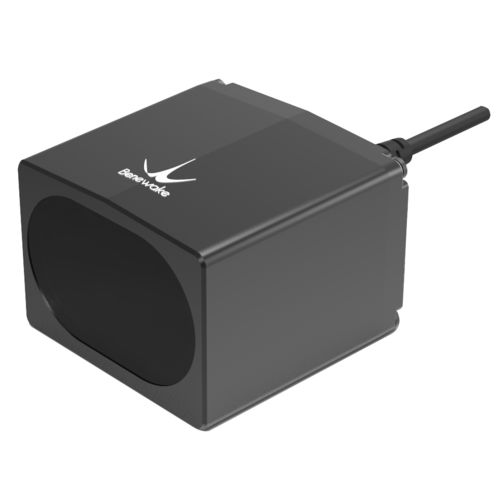
Benewake LiDAR sensor is a low-power, high-frequency, small volume ranging module, which is installed underneath the UAV, can measure the distance from LiDAR to the ground directly below in real time and feed back to the UAV, so that the UAV can adjust the descent speed or flight altitude in time during the descent process or hovering process. It is widely used in logistics drones, mapping drones, formation performance drones, driving test aircraft, etc.
Support Flight Control
Flight control hardware supported in the case of Ardupilot and PX4:
1. Pixhawk1
2. Pixhawk Cube Series
3. Pixhawk Flight Controllers from Holybro
4. CUAV Series
5. Beagle Bone Blue
6. Drotek Pixhawk3
Solution Advantages
1、Small volume, small blind zone, flexible installation height
2、Detection frequency, data stability, high accuracy, to solve the problem of GPS signal loss, low-altitude accuracy is poor; there is signal strength information to assist flight control to do filtering of data; beam angle is small, complex environment pointing accuracy better than millimeter wave Radar
3、Highly cost effective
4、Support Pixhawk and other flight control systems, can be plug-and-play
5、Support the U.S. FAA certification (TF03)


