#White Papers
Airborne LiDAR for Road Surveying: Enhancing Productivity and Efficiency
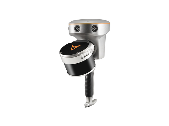
How a complete airborne LiDAR ecosystem can accelerate the process of road surveying and look into the steps involved in conducting these surveys effectively.
Road surveying is a key component of infrastructure development and maintenance. As road management becomes increasingly digitized, traditional surveying methods face numerous challenges in terms of efficiency, accuracy and safety. The significant increase in data density and timeliness demands advanced solutions. High-resolution airborne LiDAR surveys address these needs by providing detailed, accurate data for asset extraction, maintenance planning, and database updates as road infrastructure changes.
Asset Extraction: Accurate data is critical to identifying and cataloging assets such as signs, barriers, and utility poles along roadways. According to a study by the American Association of State Highway and Transportation Officials (AASHTO), accurate asset management can reduce maintenance costs by up to 20% annually.
Preventive Maintenance: Precise, up-to-date information helps plan and execute maintenance activities to prevent infrastructure deterioration. The Federal Highway Administration (FHWA) reports that proactive maintenance can extend the life of road infrastructure by 25% to 30%.
Database Maintenance: Regular updates ensure that the asset database reflects current conditions, preventing data obsolescence that can lead to inefficiencies and increased costs. Research from Geospatial World indicates that 15% to 25% of GIS data becomes outdated each year without regular updates, leading to potential errors and increased operational costs.
In this newsletter, we explore how a complete airborne LiDAR ecosystem can accelerate the process of road surveying and look into the steps involved in conducting these surveys effectively.