#Trade Shows & Events
ComNav Showcases Cutting-Edge Geospatial Innovations at RIC 2024
RIC 2024
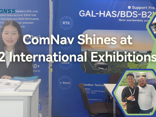
August 16, 2024 – Nairobi, Kenya: From August 13th to 15th, the RCMRD International Conference (RIC 2024) took place in Kenya. Hosted by the Regional Centre for Mapping of Resources for Development (RCMRD), a regional intergovernmental organization that serves over 20 countries in Eastern and Southern Africa, the event brought together key industry players and experts in geospatial technology.
Under the sponsorship of ComNav Technology Ltd. (ComNav), our partner, Measurement Systems Ltd., was invited to participate in the conference, bringing an array of the latest technologies and products to the forefront.
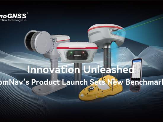
At the heart of the exhibition was the Universe Series Laser RTK, a product that captivated the attention of INTERGEO visitors and exhibitors alike. The innovative Laser RTK, developed by ComNav, uses a very precise and sunlight-readable green laser to measure offset points that are not accessible for the GNSS signals and impossible to stand with a range pole. With the laser, it can achieve centimeter-level accuracy at any point within a range of 10 meters. The combination of the GNSS, IMU and laser, fits ideally well with surveyors’work and increase significantly the productivity.
ComNav also introduced the Mars Pro Laser RTK, noted for its sunlight-readable OLED display and strong datalink compatibility, and the Mars Laser RTK, which boasts an impressive operational range of up to 15 kilometers and over 20 hours of continuous use. Additionally, the Venus Laser RTK, a lightweight handheld GNSS receiver supporting rodless surveying and stake-outs, was showcased as a versatile solution for field applications.
The participants also learned N3 GNSS Receiver and T20 Palm GNSS Receiver at the booth.
Attendees at the exhibition also showed great interest in the LS300 Laser Scanner. It utilizes SLAM technology (Simultaneous Localization and Mapping) and performs self positioning and incremental 3D mapping in unknown environments. This advanced, professional scanner is ideal for applications in smart city projects, underground facility digitization, geology, agriculture, forestry, surveying and mapping. Its powerful application capabilities and high precision features were demonstrated on site.
For users accustomed to total stations, ComNav also showcased the C200.
ComNav also introduced the P8H tablet, aptly branded with the slogan "One Device, Two Choices." The P8H is equipped with an 8-inch sunlight-readable screen and runs on the Android 12 operating system. It integrates high-precision K8 GNSS modules and antenna, offering a seamless and efficient experience for both RTK and GIS applications.
Speaking of GIS, the P6H Handheld stands out as a powerful tool. Also featuring self-developed high-precision K8 OEM boards, the P6H combines the convenience of a handheld device with advanced GNSS technology, making it a game-changer for GIS professionals. Whether mapping power lines, water mains, telephone lines, or railways, the P6H leverages cutting-edge GNSS technology to deliver precise and reliable positioning data.
These innovations reflect ComNav's commitment to advancing geospatial technology, providing professionals with the tools they need to enhance accuracy, efficiency, and productivity in the field. As the industry continues to evolve, ComNav remains at the forefront, delivering solutions that meet the diverse needs of surveyors, GIS specialists, and other geospatial professionals across the globe.


