#Product Trends
27 km Railway Survey with V700 SLAM RTK | Chile Case Study
In Chile, Geonear Aplicaciones is conducting geophysical surveying along a 27 km railway corridor. Using the Hi-Target V700 SLAM RTK, the team combines GNSS positioning with 3D laser scanning to georeference survey data and capture detailed informati
How can SLAM RTK technology improve complex railway surveying?
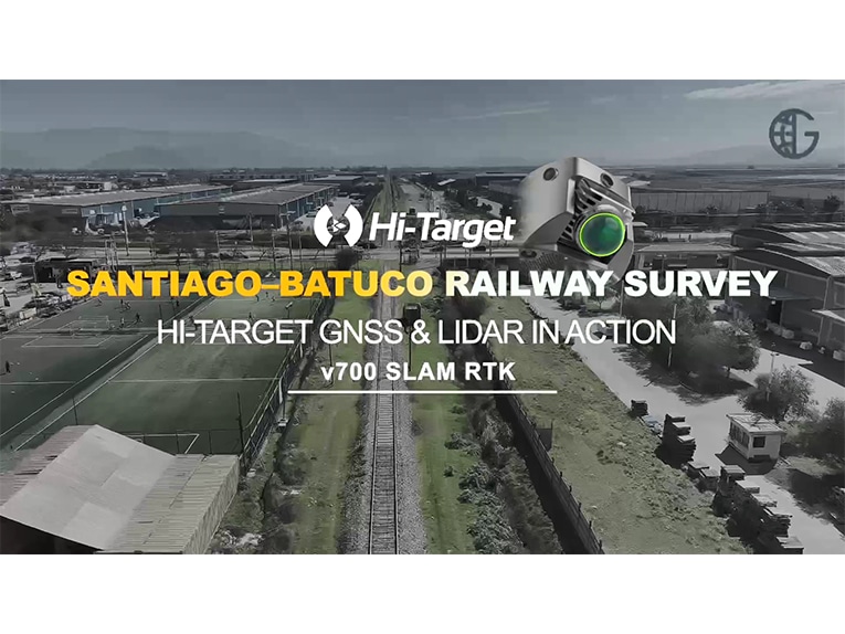
In Chile, Geonear Aplicaciones is conducting geophysical surveying along a 27 km railway corridor. Using the Hi-Target V700 SLAM RTK, the team combines GNSS positioning with 3D laser scanning to georeference survey data and capture detailed information about the railway environment.
From track elevations and overpasses to underpasses and surrounding structures, the V700 helps the team collect comprehensive 3D data while working efficiently in the field.
Watch the video to see the V700 SLAM RTK in action and hear from Felipe Pérez, Technical Manager at Geonear Aplicaciones, about their experience on the Mapocho–Batuco railway project.
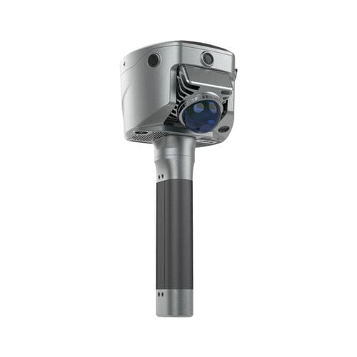
V700 SLAM RTK — built for demanding fieldwork and complex infrastructure surveying.
#HiTarget #V700 #SLAMRTK #RailwaySurvey #LaserScanning #LiDAR #GNSS #Geospatial #InfrastructureSurvey #Chile