#Industry News
Two Hours on Foot into a Colombian Cave, SL9 Captured the Space in 3D
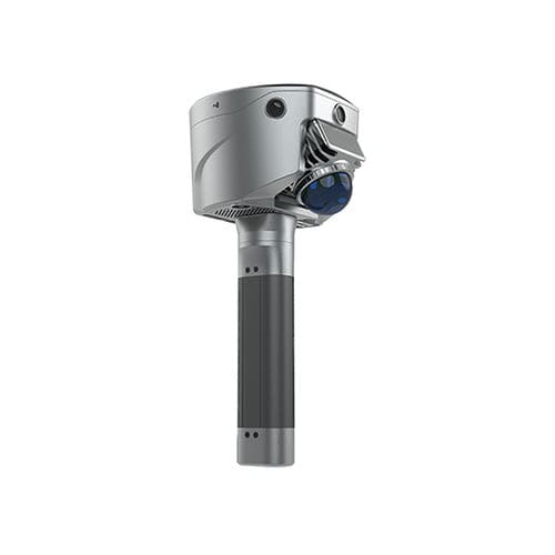
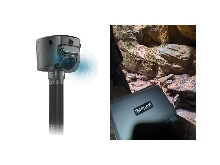
Under the mountain cliffs of Suesca, Cundinamarca, Colombia, a dark cave sits inside humid rock layers. A local user carried the SatLab SL9 SLAM RTK through the mountain terrain for nearly two hours to answer a practical field question: can a handhel
Case Snapshot
Location
Suesca, Cundinamarca, Colombia
Environment
No illumination / Humidity / Water / Confined space / Complex rock walls
Access
Approx. 2-hour mountain hike, with multiple ascents and descents
Device
SatLab SL9 SLAM RTK
Method
Handheld SLAM acquisition in a confined underground space
User Feedback
Homogeneous, consistent point cloud; stable trajectory; no deviation or processing issue reported
Additional Finding
Partial colorization was possible where the helmet headlamp acted as auxiliary light
Case Overview: location, environment, device, acquisition method, and user feedback are compiled from the original user email and field materials.
01 Field Reality: Before the Data, the Device Has to Reach the Site
The cave in Suesca was not easily accessible. The user walked for approximately two hours through mountainous terrain, including several ascents and descents. Recent rainfall made the environment even more demanding, with humidity, water, flooded areas, low passages, and irregular rock surfaces.
For underground data acquisition, the first challenge is often not software or processing. It is whether the equipment can be carried to the site, whether the operator can keep moving inside the confined space, and whether the 3D data can grow steadily with the walking path.
02 The Requirement: Make the Invisible Space Discussable
Inside the cave, there was no stable light source and the geometry was highly irregular. In this type of environment, photos only capture fragments of the scene. Traditional spot measurements or flat records also struggle to communicate the spatial relationship between the passage, the rock walls, the ceiling, and the floor.
What the user needed was a 3D record that could be rotated, sectioned, inspected, and archived. This is where the value of SL9 becomes direct: wherever the operator walks, the point cloud follows; the cave does not have to be reduced to a few photos, but can be turned into a reviewable 3D dataset.
User Field Feedback
“The results were very positive, generating a homogeneous and consistent point cloud with a high level of detail. Despite the limited space and complexity of the environment, the trajectory remained stable throughout the entire acquisition process, without any deviations or issues during data processing.”
03 Workflow: Walking the Cave, Building the Point Cloud
After entering the cave, the user performed handheld SLAM acquisition along the passage in the confined space. The route was far from a clean indoor loop: wet ground, water, rock obstacles, and irregular walls shaped the operator’s movement. Even under these conditions, the final point cloud showed a continuous acquisition path and a clear record of the cave structure.
One practical finding also stood out: when the helmet-mounted headlamp was used as an auxiliary light source, partial colorization could be achieved in some areas. For no-light or low-light underground environments, this matters because selected structures can be recorded not only with shape, but also with visual context.
04 Data Results: Not a Photo, but a Sectionable 3D Space
The point cloud screenshots and videos show the cave outline, passage direction, rock wall undulation, and local spatial structures. Height coloring makes elevation changes and spatial layers easier to read, while the intensity view highlights rock surface boundaries and structural details.
05 What This Dataset Shows
The most valuable part of this case is that SL9 was used in a real underground environment, facing distance, humidity, low light, narrow space, and complex geometry. The field data shows that SL9 can still deliver stable, continuous, and detailed point cloud results in this type of scenario.
For underground spaces that cannot be fully explained by photos, point clouds provide more complete spatial evidence.
For caves, mines, culverts, tunnels, and underground passages, handheld SLAM lowers the threshold for data acquisition in difficult spaces.
For review, discussion, and documentation, 3D data communicates site conditions more clearly than isolated images.
In no-light or low-light environments, auxiliary lighting can help support partial point cloud colorization and add more visual context to the record.
06 Video Materials: A Complete Evidence Chain from Site to Point Cloud
The video cards below correspond to the user-provided field footage and point cloud results. Photos are embedded directly in the document. Videos are included as clickable cards in the media package. To play them from Word, keep the document and the Media folder in the same directory after unzipping the package.
07 Application Value: Turning Underground Reality into Visible Deliverables
The greatest difficulty in underground spaces is that the site is complex, the light is limited, movement is restricted, and many structures are hard to explain with words. This SL9 application in a Colombian cave gives a clear answer: even when the environment is not friendly, the real space can still be captured, reviewed, sectioned, and preserved.
For caves, mines, tunnels, rock slopes, underground works, and emergency inspection scenarios, SL9 helps turn “going to the site” into “bringing the site back.” That is the practical strength of 3D mobile mapping: it does not replace professional judgment; it gives that judgment a more complete 3D evidence base.
One-Sentence Summary
In a humid, narrow, no-illumination cave in Colombia, reached after nearly two hours on foot, SatLab SL9 SLAM RTK produced a stable, continuous, and detailed 3D point cloud, turning a hard-to-describe underground space into data that can be viewed, sectioned, and reviewed.
Appendix: Short Copy for Website or Social Media
The SL9 SLAM RTK user hiked nearly two hours into a cave in Suesca, Colombia, to capture an underground space with no illumination, humidity, water, and complex geometry. The final point cloud remained homogeneous and consistent, with a stable trajectory throughout the acquisition process. This real-world application shows how SL9 helps transform hard-to-reach underground spaces into clear, reviewable 3D evidence.
Suggested headline: From a Colombian Cave to Clear 3D Evidence — SL9 Captures Underground Space Without Illumination.