
#Industry News
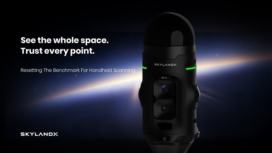
SKYLANDX Unveils MetaCam Air 3 , Redefining Handheld Reality Capture from the Sensor Up
Built on more than 5,000 devices delivered and over 1 billion square meters of real-world capture, Air 3 introduces an in-house-developed, survey-focused LiDAR and a new experience across imaging, positioning, and field interaction.
MUNICH, GERMANY — September 15, 2026 — SKYLANDX today unveiled MetaCam Air 3, its next-generation handheld reality-capture system, at INTERGEO 2026.
Air 3 is more than a conventional product upgrade. It is a system-level rethinking of handheld reality-capture technology and the way professionals experience it in the field.
From Pioneering Handheld Scanning to Understanding What Users Need Next
In 2023, SKYLANDX helped move mobile scanning into a new era of real-time color, all-in-one integration, and cable-free portability by introducing one of the industry’s first truly integrated handheld 3D scanners.
To date, SKYLANDX has delivered more than 5,000 devices and supported the capture of over 1 billion square meters of real-world environments. This experience has provided more than scale: it has given SKYLANDX a direct view into how professionals use handheld scanners, where existing solutions create friction, and what users need from the next generation of reality-capture technology.
MetaCam Air 3 is the result of those insights.
A LiDAR Designed from the Ground Up for Surveying
Many compact LiDAR sensors used in handheld scanners were originally developed for automotive perception, robotics, or other general-purpose sensing applications, where size, power consumption, cost, detection range, and object-recognition performance must be carefully balanced.
Rather than designing Air 3 around the limits of an off-the-shelf sensor, SKYLANDX developed its own LiDAR around the requirements of high-precision surveying.
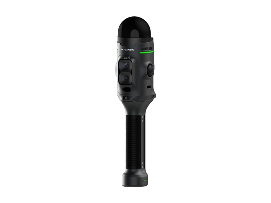
MetaCam Air 3 is built around an in-house-developed 360° × 240° large-field-of-view LiDAR. According to SKYLANDX’s market assessment, Air 3 is the industry’s only handheld reality-capture system built around a self-developed LiDAR engineered specifically for survey-grade data acquisition.
A smaller laser spot supports higher measurement precision and finer spatial detail, while a high point rate captures dense data across every surface. The 360° × 240° field of view covers both floor and ceiling in a single pass, eliminating conventional top-and-bottom blind zones and reducing the need to reposition the scanner or perform supplementary passes.
With Air 3, the pursuit of accuracy begins at the source of the data.
Panoramic Context and High-Resolution Detail
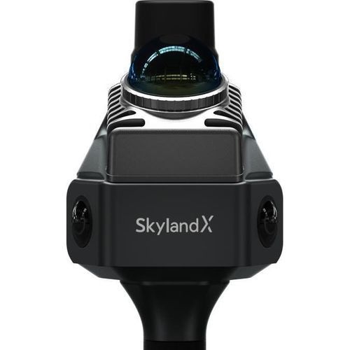
MetaCam Air 3 integrates its LiDAR architecture with dual 50MP panoramic color cameras, a separate 48MP forward-facing camera for high-resolution supplementary imaging, and a dedicated global-shutter camera for VSLAM.
Its panoramic imaging system delivers 1-inch-equivalent imaging performance for broad visual coverage, while the 48MP forward-facing camera preserves critical details where additional clarity is required. Users can capture panoramic context and high-resolution detail within the same system, creating a richer and more understandable digital record of the physical environment.
Making High-Precision Positioning Accessible in More Places
MetaCam Air 3 supports network RTK through NTRIP, local RTK through UHF, as well as PPK and ground-control-point workflows.
A removable RTK module and magnetically attached UHF radio allow users to configure the system for each project. Whether commercial correction services are readily available or a local base station must be deployed, Air 3 provides multiple paths to high-precision positioning—helping make RTK-enabled reality capture accessible to more users, projects, and locations worldwide.
A More Free, Intuitive, and Trusted Capture Experience
Air 3 introduces a completely new exterior design that breaks from conventional handheld-scanner forms. Its distinctive Mars Ring indicator communicates real-time SLAM accuracy and system status through an immediate visual signal, while one-button scan start makes capture fast and direct.
Together, these innovations create a new user experience built around three principles: freedom to capture, clarity while working, and confidence in the data delivered.
“We did not design Air 3 around the limits of an existing sensor. We started with the data that survey professionals actually need, then redesigned the core LiDAR and the complete product experience around it,” said Stuart Situ, R&D Leader at SKYLANDX. “Air 3 advances individual performance while bringing accuracy, coverage, imaging, positioning, and usability together in one platform. Our goal is to keep the complexity inside the system and give users a freer, simpler, and more trusted reality-capture experience.”
Captured data connects directly with SKYLANDX’s software environment for review, editing, processing, and export, creating a continuous workflow from field acquisition to final spatial-data delivery.
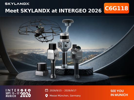
MetaCam Air 3 is on display at SKYLANDX Booth C6G118 throughout INTERGEO 2026, running September 15 to 17 in Munich. Product configurations, regional availability, and commercial details will be announced separately.
About SKYLANDX
SKYLANDX is a spatial-intelligence deep-tech company developing technologies that enable people and machines to perceive, understand, and act in the physical world. Built on multi-sensor fusion, its capabilities span 3D sensing and reality capture, spatial understanding, and autonomous navigation—powering a product portfolio that includes handheld scanners, indoor autonomous UAVs, autonomous mobile robots, and quadrupeds.
Since introducing one of the industry’s first fully integrated, cable-free handheld 3D scanners in 2023, SKYLANDX has continued to turn advanced perception into field-proven solutions worldwide.
For more information, contact [email protected].