#Product Trends
Cultural heritage 3D modeling with the i93 VISUAL IMU-RTK GNSS
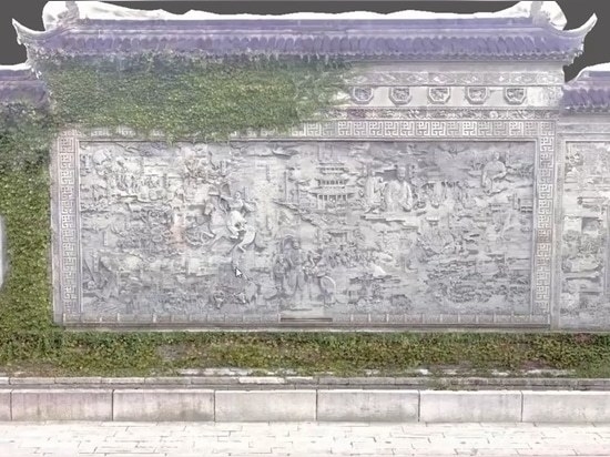
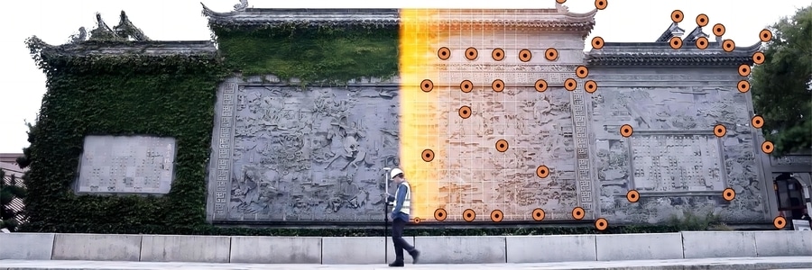
Saving considerable funds, time and efforts in collecting highly accurate data to create a 3D model of a cultural heritage site
The trend toward smart cities and digital twins is gaining traction around the world. When cities need to make planning, designing, or management decisions, they turn to 3D modeling to create realistic renderings of existing buildings, infrastructure facilities, cultural heritage sites, and green spaces. Moving to East Asia, China is also investing significantly in digital twins, from planning to disaster response, to determine where to develop new projects and how to manage existing challenges effectively.
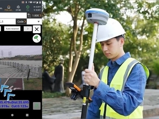
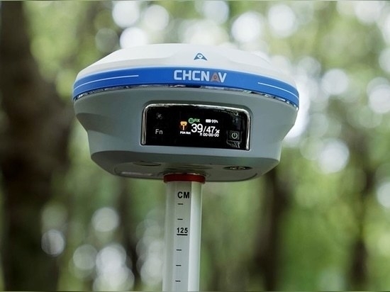
Recently many cases of historical and cultural heritage preservation have been carried out by GIS professionals using the latest 3D digital modeling technologies. For smarter, faster, better informed urban planning, and as a complement to aerial surveys, the i93 IMU-RTK GNSS receiver, which integrates visual positioning and video photogrammetry technologies, was used in this case study and proved its effectiveness in saving considerable funds, time and efforts in collecting highly accurate data to create a 3D model of a cultural heritage site in China.