#Product Trends
CHC Navigation introduces AlphaAir 10, a combined LiDAR & RGB system for drone mapping surveys
ADVANCED SURVEY SYSTEM LIDAR+RGB AERIAL
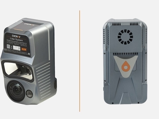
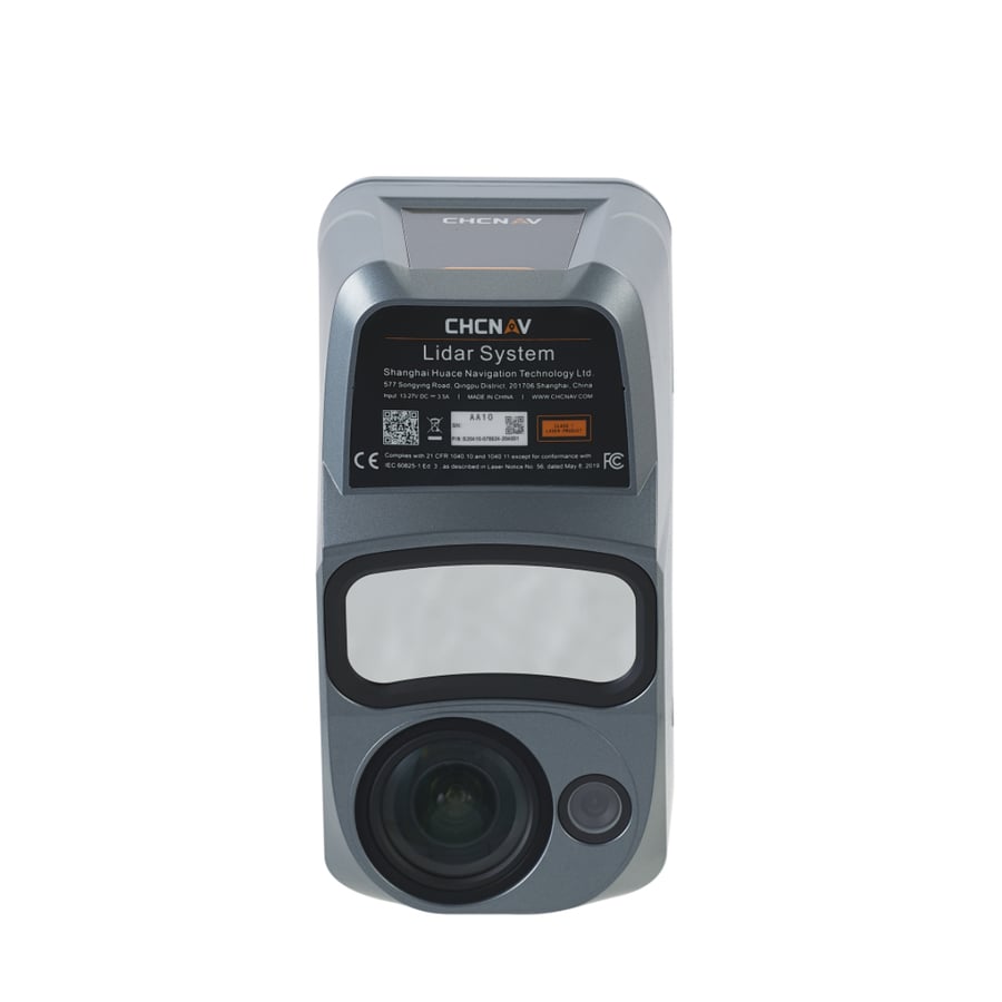
CHC Navigation (CHCNAV), a global leader in geospatial solutions, has introduced the AlphaAir 10 (AA10), an innovative airborne mapping system that seamlessly integrates high-precision LiDAR technology, accurate GNSS positioning, IMU orientation and an industrial-grade full-frame orthophoto camera.
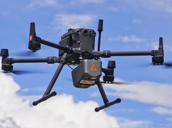
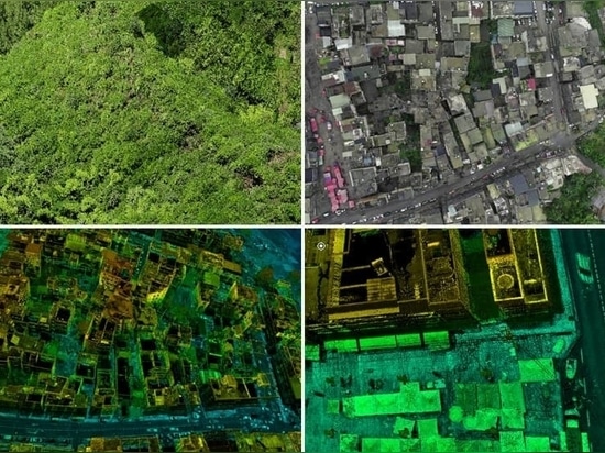
The AA10 features a lightweight, compact design and effortless compatibility with a wide range of UAV platforms. Utilizing advanced multi-target capabilities, the AA10 can detect up to 8 target echoes, greatly enhancing its ability to penetrate dense vegetation and acquire precise ground surfaces.
"The AlphaAir 10 Airborne LiDAR + RGB system represents an exciting milestone in aerial surveying technology. Its precision, advanced scanning capabilities, highly efficient data acquisition and user-friendly design underscore CHCNAV's commitment to providing innovative 3D reality capture solutions that empower geospatial professionals," said Andrei Gorb, Product Manager at CHC Navigation. "Combined with CHCNAV's point cloud and image fusion modeling software, the AA10 provides an efficient and cost-effective approach to airborne 3D data collection and processing."