#Industry News
Breaking New Ground in Waterway Digitization: A Case Study with the AlphaAir 10 LiDAR+RGB System on a DJI Drone
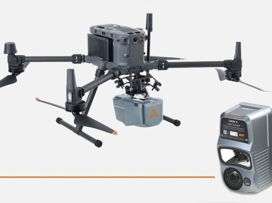
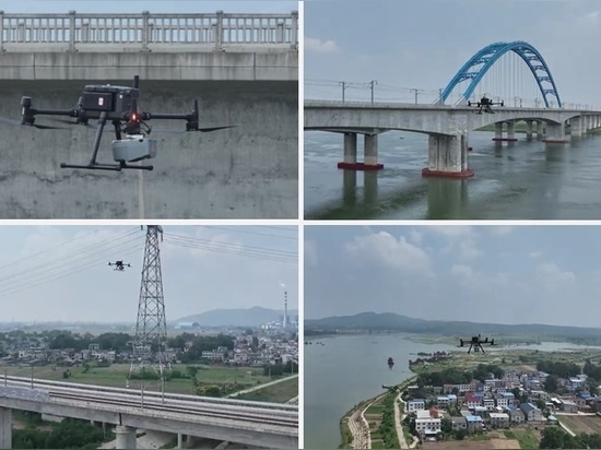
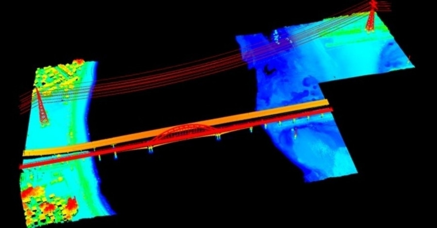
AlphaAir 10 LiDAR+RGB system mounted on a DJI drone for a 3D digitization project focusing on the Yangtze River waterways
UNLOCKING WATERWAY POTENTIAL: LEVERAGING TECHNOLOGY FOR ENHANCED MANAGEMENT
The digitization of inland waterways brings forth a host of benefits by leveraging technology and data to optimize the management, safety, and sustainability of crucial navigation infrastructure. Precise data on waterway conditions enhances the monitoring of infrastructure structures, such as locks, dams, and bridges. By identifying potential issues early, digitization enables timely maintenance, ensuring the reliability and safety of waterways for transporting goods, passengers, and essential resources.
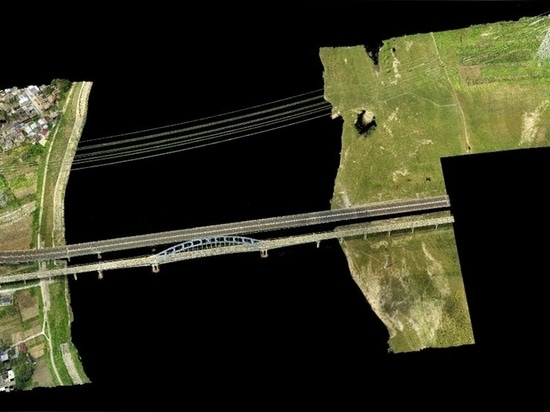
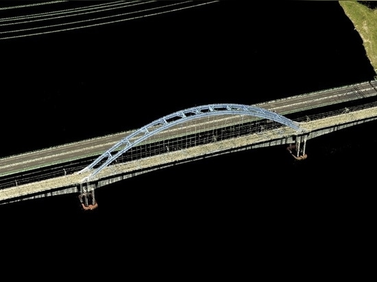
This article describes the real-world application of the AlphaAir 10 LiDAR+RGB system mounted on a DJI drone for a 3D digitization project focusing on the Yangtze River waterways.
DIGITALIZATION OF THE YANGTZE RIVER'S WATERWAYS: A NEW FRONTIER IN SURVEYING
This project takes on the daunting task of digitally mapping the intricate waterways of the Yangtze River. As the longest river in Eurasia and the third longest in the world, the Yangtze flows through major Chinese provinces, including Sichuan, Yunnan, Hubei, and Shanghai. The river's importance is immeasurable as it's a vital source of millions of people's water, irrigation, and transportation. Recent years have seen a surge in demand for waterway surveying due to ambitious development projects along the Yangtze and its tributaries.
