#Product Trends
CHC Navigation Unveils CoProcess: Advanced LiDAR Data Post-Processing Software
The release of CoProcess
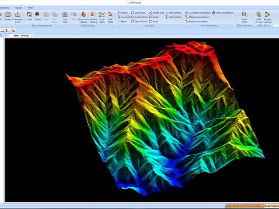
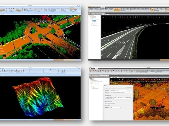
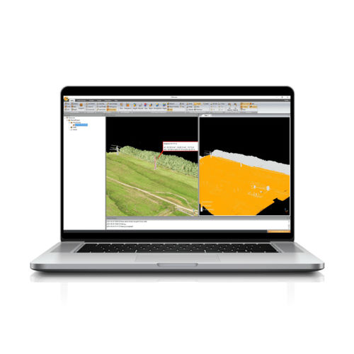
CHC Navigation (CHCNAV), a leading provider of mapping and geospatial solutions, announces the release of CoProcess, an innovative software platform designed to streamline the post-processing of large point cloud datasets acquired by LiDAR systems. Powered by specialized algorithms yet with an intuitive interface, CoProcess seamlessly transforms raw scan data into high-quality output for engineering and geospatial applications. The software's automation capabilities further increase the efficiency of LiDAR data post-processing.
"CoProcess software allows effortless management of complex point cloud data, unlocking the full potential of LiDAR scanning for geospatial applications," said Jax Fu, the supervisor of the CHC Navigation Mapping Product Line. "We invite all mapping professionals to experience the capabilities of our 3D reality capture ecosystem."
USER-FRIENDLY INTERFACE
CoProcess features an intuitive user interface organized into four modules - Foundation, Terrain, Road, and Volume. Built-in wizards and a user manual guide first-time users. Customizable interface layouts and support for the efficient CoData point cloud format significantly increase productivity when importing and visualizing large datasets.