#Product Trends
CHCNAV Unveils RS10: A Revolutionary Integrated Handheld SLAM Laser Scanner with GNSS RTK System
launched the RS10
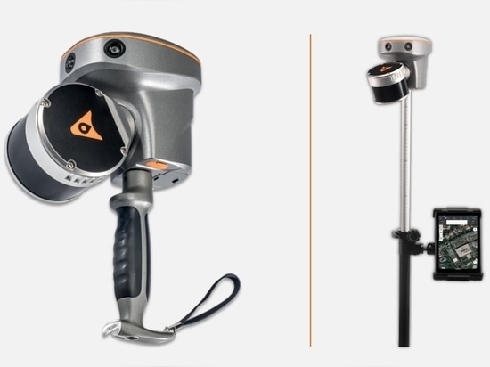
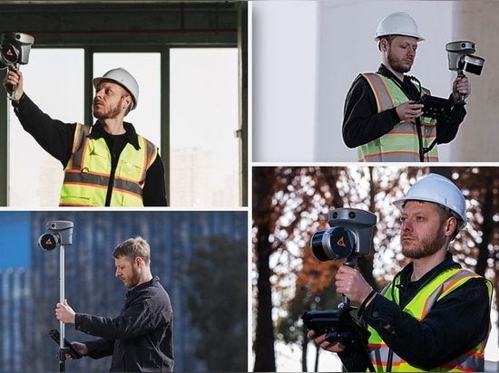
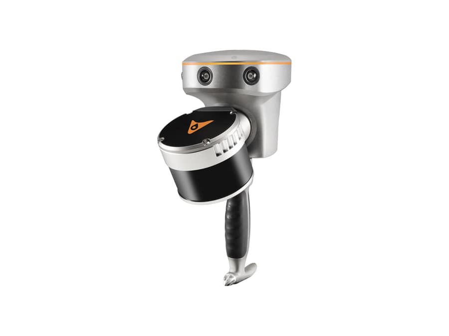
Shanghai, China – March 8, 2024 -CHC Navigation (CHCNAV), a global leader in the geospatial industry, has launched the RS10, an innovative and affordable handheld SLAM LiDAR laser scanner integrated with an RTK GNSS receiver.
Designed to improve efficiency across a wide range of mapping and surveying applications, the RS10 laser scanner provides professionals with a versatile, all-in-one tool for capturing rich 3D geospatial data in both outdoor and indoor environments. Combining a survey-grade GNSS RTK receiver with the handheld LiDAR SLAM system, the RS10 simplifies workflows without compromising accuracy or flexibility.
"We are excited to introduce the RS10, which represents another milestone in CHC Navigation's ongoing mission to push the boundaries of 3D geospatial data capture," said Byron Yuan, Senior Vice President of CHCNAV. "With its unique fusion of technologies in a handheld format, the RS10 provides an incredibly affordable solution for 3D LiDAR-SLAM reality capture and demanding GNSS RTK surveying projects."