#Product Trends
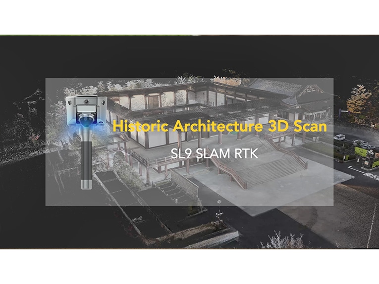
SL9 SLAM RTK: Fast, Precise, Anywhere
SL9 SLAM RTK combines high-precision GNSS positioning with cutting-edge SLAM technology, eliminating the spatial constraints of traditional RTK measurements.
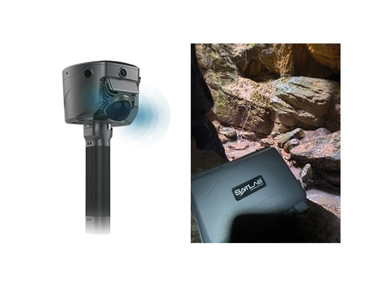
Quickly capture historic buildings and heritage sites with the handheld SLAM RTK, even in complex or hard-to-reach areas.
For extra fine details, you can optionally combine with tripod-based scans to produce highly accurate mesh models.
Walk-and-scan workflow for speed
High-accuracy positioning
Efficient 3D modeling for preservation and documentation
Preserve history on the move.
SL9 SLAM RTK — your portable 3D solution.
Key Features:
1. New Image Measurement Experience
2. Boundaryless Surveying with SLAM-Fix Tech
3. Unified Coordinate System
4. Real-time Volume Calculation
5. Strong Signal and High-Quality Data