#Industry News
Inside a Smarter Port Hydrographic Survey | SatLab HydroBoat 1500 + HydroBeam M4
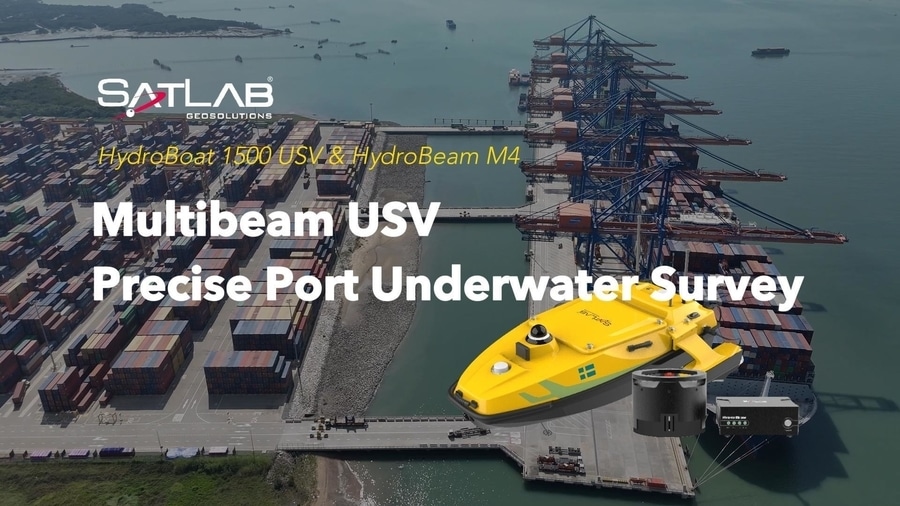
This case demonstrates how the SatLab HydroBoat 1500 USV, integrated with the HydroBeam M4 multibeam sonar, provides an autonomous approach to hydrographic surveying and underwater mapping for port environments.
How can ports make hydrographic surveying more autonomous, precise, and efficient?
In this case study, see how the SatLab HydroBoat 1500 USV, integrated with the HydroBeam M4 multibeam sonar, brings a smarter approach to underwater surveying.
Autonomous Surveying
Reduce manual vessel operation and streamline fieldwork with an unmanned survey platform.
High-Resolution Seabed Mapping
Capture detailed underwater terrain and bathymetric data with multibeam sonar technology.
IHO Special Order Accuracy
Designed for demanding hydrographic applications where reliable positioning and depth data matter.
Built for Port Operations
From post-dredging verification and channel inspection to routine port maintenance, accurate underwater data helps surveyors and port operators make better decisions.
The result? A more efficient workflow from data collection to underwater insight—helping ports maintain navigable waterways and support safer marine operations.
Survey autonomously. Map precisely. Navigate safer.
Discover how SatLab is transforming hydrographic surveying with autonomous USV and multibeam technology.
#SatLab #HydroBoat1500 #HydroBeamM4 #USV #MultibeamSonar #HydrographicSurvey #Hydrography #PortSurvey #MarineSurvey #BathymetricSurvey #PortSafety #SafeNavigation #MarineTechnology