#Product Trends
Multibeam Survey for Land Reclamation Progress Monitoring
In 2026, SatLab deployed the HydroBoat 1200 USV with the HydroBeam M2 multibeam echosounder for a land reclamation project in an undisclosed country. The system was used to periodically scan the seabed topography of the reclamation area to monitor re
Project Overview
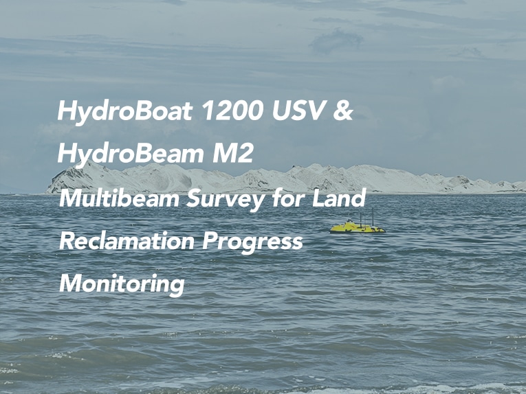
In 2026, SatLab deployed the HydroBoat 1200 USV with the HydroBeam M2 multibeam echosounder for a land reclamation project in an undisclosed country. The system was used to periodically scan the seabed topography of the reclamation area to monitor reclamation progress.
The overall reclamation project covers more than 5,000 hectares. The training and test area covered more than 12 hectares. The project required high-precision multibeam surveying in shallow water, with the shallowest depth less than 0.5 m, where traditional manned vessel-based multibeam operations are extremely limited. The project required a multibeam survey solution suitable for shallow water, rapid deployment, and repeated monitoring.
Project Snapshot:
Item Details
Project Land reclamation project
Time 2026
Solution HydroBoat 1200 USV + HydroBeam M2 multibeam echosounder
Software SLHydro USV (Android controller)
Overall project area More than 5,000 ha
Training / test area More than 12 ha
Water depth requirement High-precision multibeam survey in shallow water,
with the shallowest depth less than 0.5 m
Key challenges Shallow water, overland transport and rapid deployment,
large-area repeated monitoring
Final deliverable XYZ point cloud data
Accuracy Met IHO Special Order accuracy requirements
Acceptance Passed; data was consistent with the client’s existing data
Project Challenges:
The land reclamation project required periodic multibeam surveys to monitor reclamation progress. The project presented the following challenges:
The land reclamation project required periodic multibeam surveys to monitor reclamation progress. The project presented the following challenges:
Shallow-water high-precision survey: The shallowest depth is less than 0.5 m, where traditional manned vessel-based multibeam operations are extremely limited.
Overland transport and rapid deployment: Different survey areas need to be transported overland, requiring the equipment to be rapidly deployed without complex disassembly.
Large-area repeated monitoring: The overall project covers more than 5,000 hectares, requiring an efficient and repeatable survey workflow.
Simple field operation: The client required a workflow that minimized field equipment and enabled acquisition without a laptop.
Survey Solution Overview:
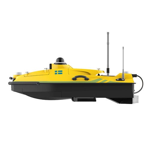
SatLab provided an integrated solution consisting of the HydroBoat 1200 USV, HydroBeam M2 multibeam echosounder, SLHydro USV, and Android controller.
Key capabilities included
SLHydro USV software on Android controller: Through the SLHydro USV software on the Android controller, the operator can complete a series of processes including connecting to the USV, creating a new project, setting up the differential, data acquisition, and real-time data viewing.
Auto-SPIN: Replaces the need for SVP, simplifying sound velocity operations.
Auto-Survey: No manual route planning is required. After selecting the start and end lines, the system automatically plans intermediate lines according to the required overlap rate.
Direct point cloud output: The system directly outputs XYZ data, eliminating complex post-processing.
System Setup and Commissioning:
The complete setup and commissioning took about 5 minutes, including:
Powering on the HydroBoat 1200.
Installing the HydroBeam M2 multibeam.
Connecting the base station differential link.
Creating a new project.
Setting up the survey task.
This rapid setup supported fast deployment and efficient field operations.
Field Survey and Data Acquisition:
Through the SLHydro USV software on the Android controller, the operator completed a series of processes including connecting to the USV, creating a new project, setting up the differential, data acquisition, and real-time data viewing, all without a laptop.
Two survey areas were tested on the training day. Different survey areas need to be transported overland, and the equipment can be rapidly deployed without complex disassembly. The acquisition process was smooth, with no acquisition issues reported.
Data Processing and Results
Data is stored onboard the USV and can be quickly copied to a working computer via an external hard drive for data review:
The system directly outputs XYZ point cloud data. After noise removal using SLHydroBeam Processing software, the data can be converted into formats such as .xyz and .las.
The client had previously acquired multibeam data in the area, and the new survey data was consistent with the client’s existing data. The project passed acceptance.
Accuracy Verification
The survey results met IHO Special Order accuracy requirements.
Specific accuracy verification data and charts will be supplemented later.
The data was consistent with the client’s existing data, and the project passed acceptance.
Project Value
1. Suitable for Shallow-Water Surveying
The HydroBoat 1200 USV can perform multibeam surveys in water depths of approximately 0.2–200 m, making it suitable for shallow reclamation areas where manned vessel operations are limited.
2. Fast Setup and Rapid Deployment
The complete setup took about 5 minutes. When different survey areas need to be transported overland, the equipment can be rapidly deployed without complex disassembly, improving field efficiency.
3. Simple Operation, No Laptop Required
Through the SLHydro USV software on the Android controller, the operator can complete processes such as connecting to the USV, creating a new project, setting up the differential, data acquisition, and real-time data viewing. Auto-SPIN and Auto-Survey further simplify the workflow.
4. Highly Recognized by the Client
The client highly recognized the data quality and commented that the working mode is highly efficient, simple to learn, and very suitable for their project.
Conclusion
This project demonstrates the value of the HydroBoat 1200 + HydroBeam M2 solution for land reclamation progress monitoring. The solution is suitable for shallow, large-area, and repeatedly monitored reclamation areas, offering rapid setup, rapid deployment, one-click acquisition, and automatic line planning.
The final XYZ point cloud data met IHO Special Order accuracy requirements and was consistent with the client’s existing data. The project passed acceptance, proving the reliability and practicality of the solution for land reclamation progress monitoring.