#Industry News
Your blueprint for faster, better georeferencing
Learn how to improve your georeferencing workflow here
From Data Capture to Competitive Edge
When you’re mapping complex environments you’re fighting a battle on two fronts. Your clients demand perfect data, as accurate as possible, and your bottom line demands that you work as efficiently as possible.
The pursuit of georeferencing perfection can kill efficiency, and leads to missed deadlines and cost overruns. But cutting corners to save time would destroy the accuracy, and credibility that your entire professional reputation is built on.
In short, you need a way of collecting positioning data for georeferencing that’s
Accurate
Reliable
Works right the first time
At the same time, you need to streamline your back office work to turn that raw data into a highly precise georeferenced point cloud (or other kind of survey if you aren’t using LiDAR).
The truth is, Ground Control Points and even basic GNSS/INS systems just can’t keep up with these dual pressures anymore.
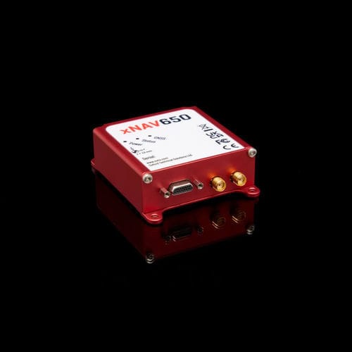
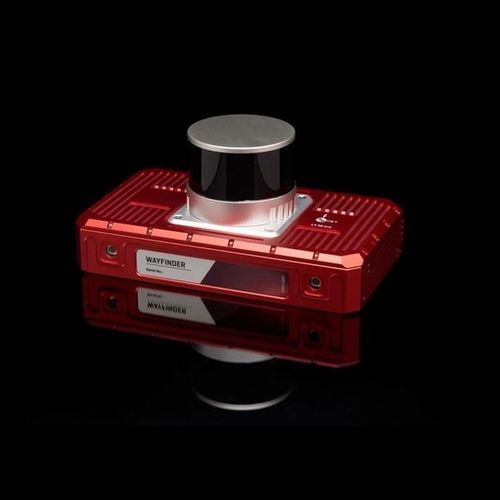
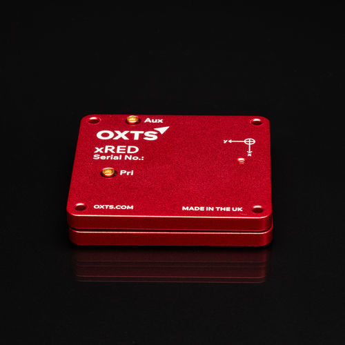
In this blog, we’re showcasing how OXTS GNSS/INS devices help you manage the conflicting pressures of georeferencing work, through specialised features designed with surveyors like you in mind. They’re accessed by activating feature codes on your device – so if you are an OXTS customer interested in levelling up your georeferencing process, get in touch with us today.
Getting data you can trust
Reliable fieldwork is the foundation upon which your entire final deliverable is built. Although post-processing plays a vital role in optimising your data, errors during the survey process can affect the data to the point where there’s nothing to do but re-survey – a costly and time-consuming misstep.
Our hardware and georeferencing features are designed to make sure the data you collect in the field is rock-solid from the start, building a foundation of integrity for your entire project.
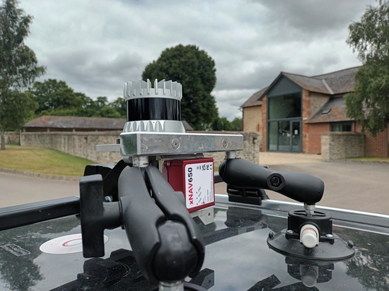
Sync every sensor with PTP/GPTP
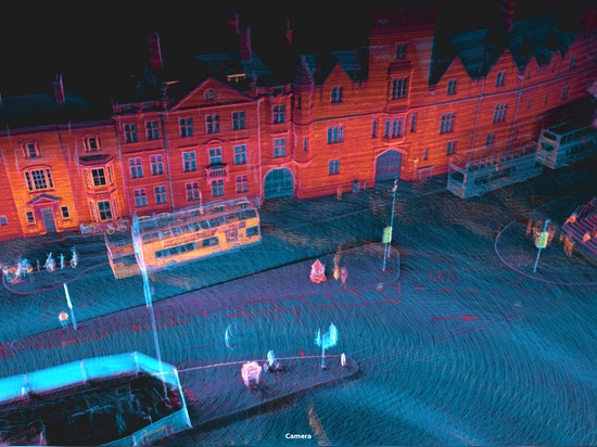
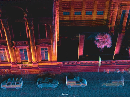
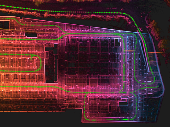
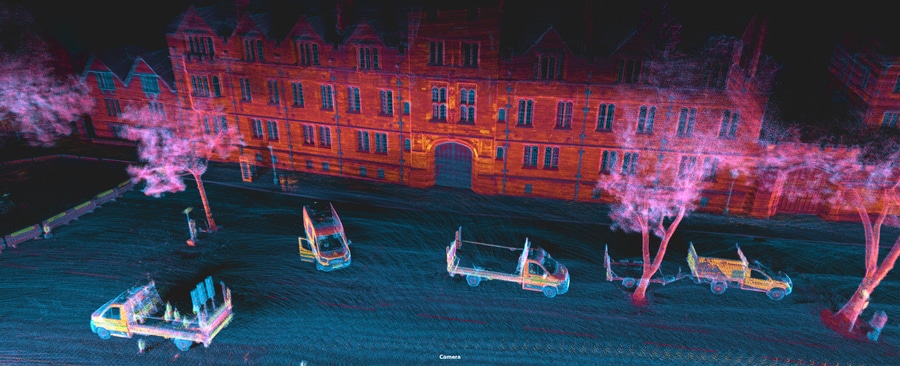
Direct georeferencing is simple in theory: for every single point the LiDAR sees, you need to know exactly where the sensor was and how it was oriented at that exact point in time. This is only possible if the clock on your INS and the clock on your LiDAR are as close to perfectly in sync as possible.
If they’re not, your point cloud will end up distorted.
A timing error of just a few milliseconds can cause a survey device to be metres away from its true position, stretching and shearing your final point cloud into a blurry, unusable mess. Imagine scanning a building as you drive past. If the timing is off, the front of the building will appear stretched or compressed, and straight lines will become warped and jagged.
Our PTP/gPTP synchronisation feature makes this easy. It uses a standard network protocol to make sure all your sensors are running on the same, super-accurate time, often with sub-microsecond precision.
It turns your entire sensor suite into a single, cohesive instrument operating on one unified timeline. It’s the critical link that ties the “where” (from the GNSS/INS) to the “what” (from the LiDAR), and it’s an absolute must-have for any serious mobile mapping setup.