#Product Trends
SL9 SLAM RTK | Forestry Case Study · Korea#SatLab #SL9 #SLAMRTK#ForestSurveying #ValleySurveying
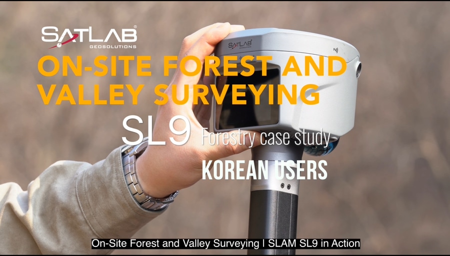
In this real-world forestry application in Korea, professional users took the SL9 directly into the field to survey forested areas and valley terrain—capturing spatial data while moving through challenging environments.
Surveying in a forest is rarely straightforward.
Dense vegetation, uneven terrain, steep valleys, narrow paths, and limited GNSS visibility can make conventional surveying workflows slower and more difficult.
That’s where SatLab SL9 SLAM RTK comes into action.
In this real-world forestry application in Korea, professional users took the SL9 directly into the field to survey forested areas and valley terrain—capturing spatial data while moving through challenging environments.
Walk the site. Capture the environment. Build the data.
With SL9’s SLAM-based positioning and 3D mapping capabilities, surveyors can move through complex areas while continuously collecting spatial information, helping reduce the need to stop repeatedly for measurements and making fieldwork more efficient.
FROM FOREST PATHS TO VALLEY TERRAIN
Whether navigating through wooded areas or working across uneven valley surfaces, SL9 is designed to support mobile surveying workflows where accessibility and efficiency matter.
The workflow is simple:
1. Enter the site
Take SL9 directly into the forest or valley and start surveying.
2.Move naturally through the terrain
Walk along existing paths, around obstacles, and through complex areas while SL9 captures spatial information.
3.Capture the environment in 3D
Collect detailed spatial data as you move, creating a comprehensive digital representation of the surveyed area.
4.Turn fieldwork into usable data
Bring the captured data back into your workflow for further processing, visualization, measurement, and analysis.
REAL FIELD. REAL TERRAIN. REAL WORKFLOW.
This Korean forestry case demonstrates how SLAM technology can extend surveying capabilities beyond conventional environments.
From open sites to difficult terrain, from accessible roads to narrow forest paths—SL9 helps bring efficient 3D reality capture wherever the survey takes you.
1.Forest. Valley. Complex Terrain.
2.One mobile surveying workflow.
3.SL9. Ready to move.
See SL9 in action and discover a smarter way to capture challenging environments.
#SatLab #SL9 #SLAMRTK #SLAM #Forestry #ForestSurveying #ValleySurveying #LandSurveying #3DScanning #3DMapping #RealityCapture #Geospatial #SurveyingTechnology #Surveying #Korea #DigitalTwin #3DRealityCapture