
#Product Trends
SpatiX X5 Field Test in Colombia: Centimeter-Level Positioning Under Tree Canopy
Field testing with Vertex Ingeniería demonstrates the SpatiX X5’s positioning performance in challenging environments with dense tree coverage.
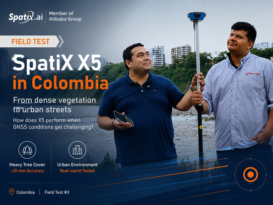
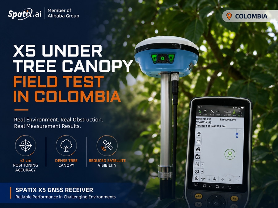
GNSS positioning can become more challenging when working under dense vegetation, where tree canopy can reduce satellite visibility and affect signal reception. To evaluate the SpatiX X5 in real-world conditions, SpatiX and its local partner, Vertex Ingeniería, conducted a field test in Colombia.
During the test, the team operated the SpatiX X5 GNSS receiver in shaded areas beneath dense tree coverage. The objective was to evaluate its positioning performance in an environment with partial satellite obstruction, reflecting conditions that surveyors and field professionals may encounter in everyday work.
Despite the surrounding vegetation and reduced satellite visibility, the X5 delivered approximately 2 cm positioning accuracy during the field test.
This result highlights the X5’s ability to maintain high-precision GNSS positioning in challenging field environments, helping professionals carry out measurements in areas where open-sky conditions are not always available.
Tested in Real Field Conditions
The Colombia field test is part of a series of practical evaluations designed to demonstrate how the SpatiX X5 performs across different environments and applications.
From open-sky areas to locations with natural obstructions, these field tests provide practical insights into the receiver’s positioning capabilities under real operating conditions.
Real environment. Real obstruction. Real measurement results.
More SpatiX X5 field tests and application scenarios will be shared soon.