#Industry News
Inertial Navigation Systems - why are they essential for mobile mapping with LiDAR?
This article was written by Iain Clarke, Senior Product Engineer at OXTS. Iain is an expert in inertial navigation, sensor fusion, and advanced localisation technologies.
An introduction to inertial navigation systems
What is an INS?
Inertial Navigation Systems (INS) have become an essential part of many modern positioning workflows, especially when traditional GNSS falls short. This section explores why INS is a critical companion to technologies like LiDAR.
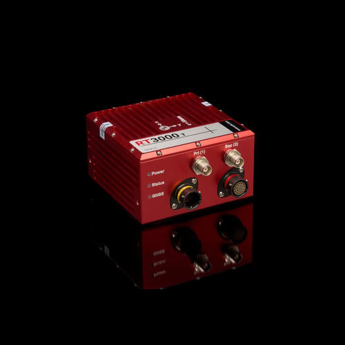
An INS is a device that measures position and motion using inertial sensors and sophisticated algorithms. At the most basic level, an INS uses a technique known as dead reckoning to continuously estimate how an object has moved based on its last known location and the integration of acceleration and angular rate measurements since then. However, there are small errors in these inertial measurements, which grow when integrated to calculate velocities, and compound further when integrated again to calculate position. In order to constrain the error growth, additional sensors are often combined with the Inertial Measurement Unit (IMU). One of the most commonly used aiding sensors is GNSS.
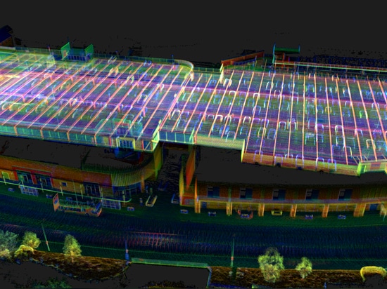
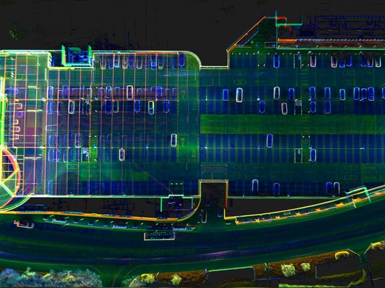
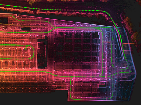
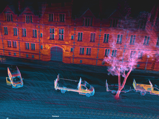
Why INS matters for LiDAR
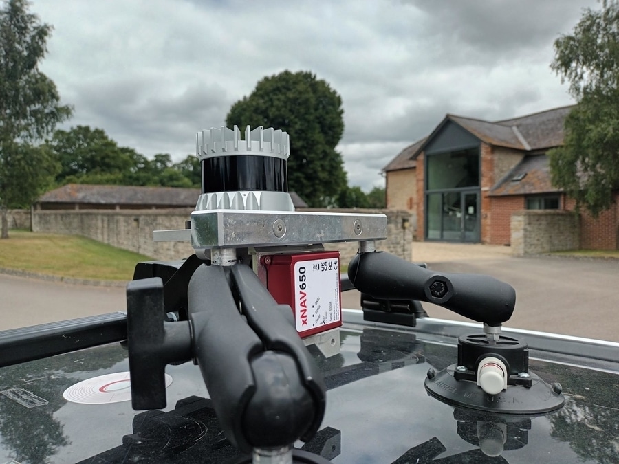
LiDAR’s primary advantage lies in its ability to rapidly capture high-density, high-accuracy spatial data. But when a LiDAR scanner is mounted on a moving platform, such as a vehicle or aircraft, the accuracy of that data becomes dependent on how accurately the platform’s position and orientation are updated. That’s where high-rate inertial navigation comes in.
To read the full article click more information